Home | About us | Accommodation | Our clients | Catering | Facilities | Testimonials | Tariffs | Bookings | Links | Locality Info | Contact | Directions |
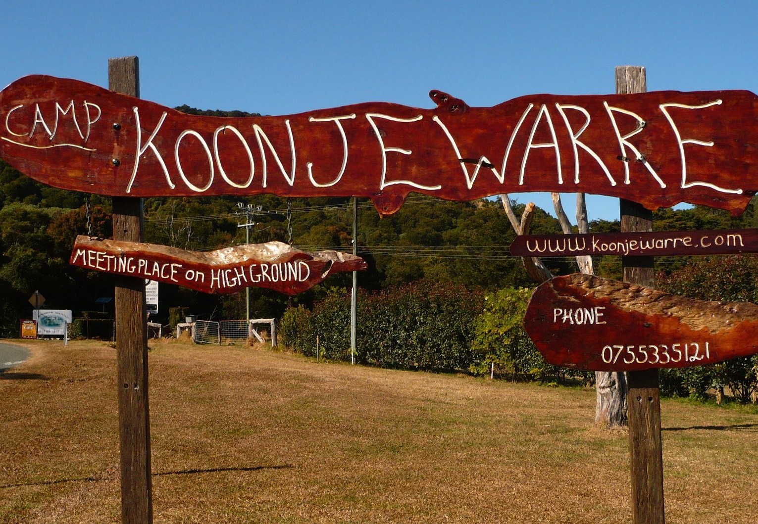   |
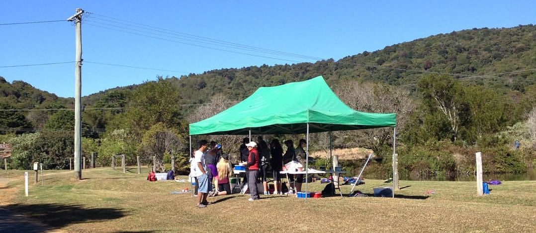
How to get to KoonjewarreNorthbound take Exit 71 off Pacific Motorway (M1) at Nerang, turn right at the first major intersection and follow Station Street and Nerang-Broadbeach Road to Price Street. Turn left into Price Street and travel straight through Nerang on the Nerang-Beaudesert Road which becomes Nerang-Murwillumbah Road. Continue for about 30 km , turn left at the Springbrook sign (Pine Creek Road) and take pleasure in the magnificent scenery. When you get to the intersection at the top of the climb, continue along Springbrook Road for about 10 km and you will find Koonjewarre on the right. Alternatively, take Exit 80 off the M1 and travel though Mudgeeraba to Gold Coast–Springbrook Road. Follow that road through Neranwood and up the winding road to the top of the mountain. Continue along Springbrook Road for about 10 km and you will find Koonjewarre on the right. Southbound take Exit 69 off Pacific Motorway (M1) at Nerang and follow signs toward the Numinbah Valley and Murwillumbah. Turn left at the Springbrook sign (Pine Creek Road) and take pleasure in the magnificent scenery. When you get to the intersection at the top of the climb, turn right and continue along Springbrook Road for about 10 km and you will find Koonjewarre on the right. Travelling north from Murwillumbah, use the Numinbah Valley/Nerang road. After visiting Natural Bridge turn right at Springbrook sign. When you get to the intersection at the top of the climb, turn right and continue along Springbrook Road for about 10 km and you will find Koonjewarre on the right. Allow a little time for the Google map to load. |
|
Koonjewarre 2806 Springbrook Road, Springbrook QLD 4213, Australia telephone: 61 7 5533 5121 email: info@koonjewarre.com |
Australian Rainforest Conservation Society Inc PO Box 2111, Milton QLD 4064, Australia telephone: 61 7 3368 1318 email: aila.keto@rainforest.org.au |
 |